Explore the locations within Victoria’s metropolitan councils and shires. Please select a council area from the map below and follow the link to view a gallery of locations you might like to consider for your next project.
Explore the locations within Victoria’s regional councils and shires. Please select a council area from the map below and follow the link to view a gallery of locations you might like to consider for your next project.
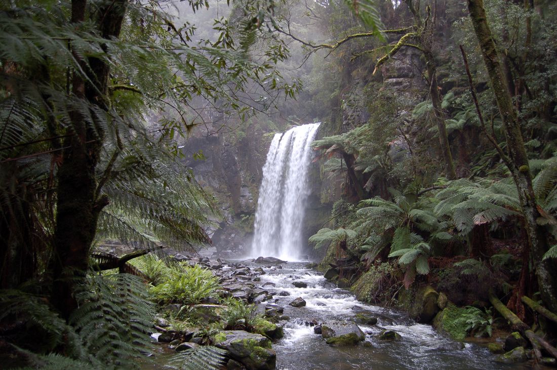
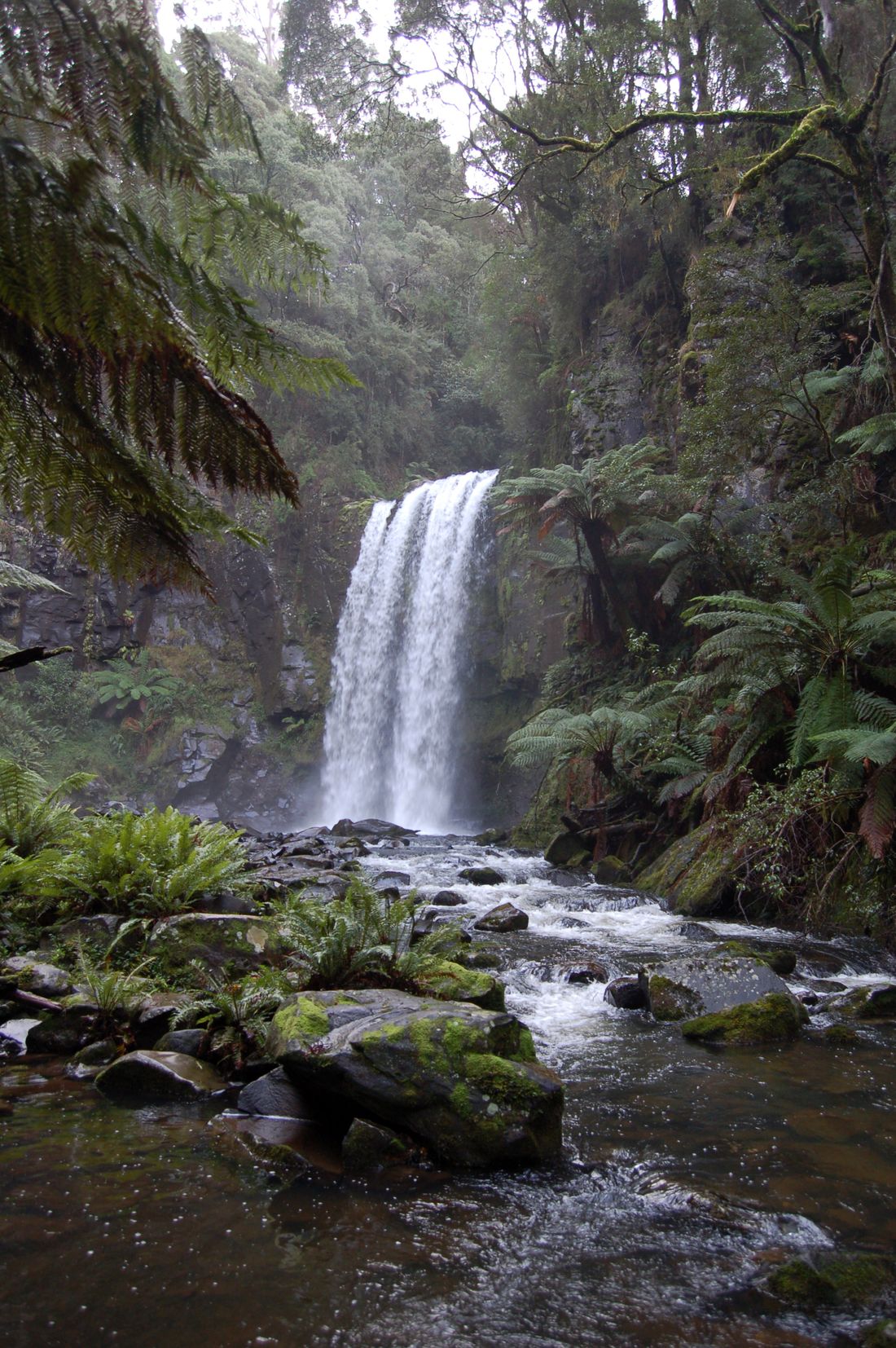
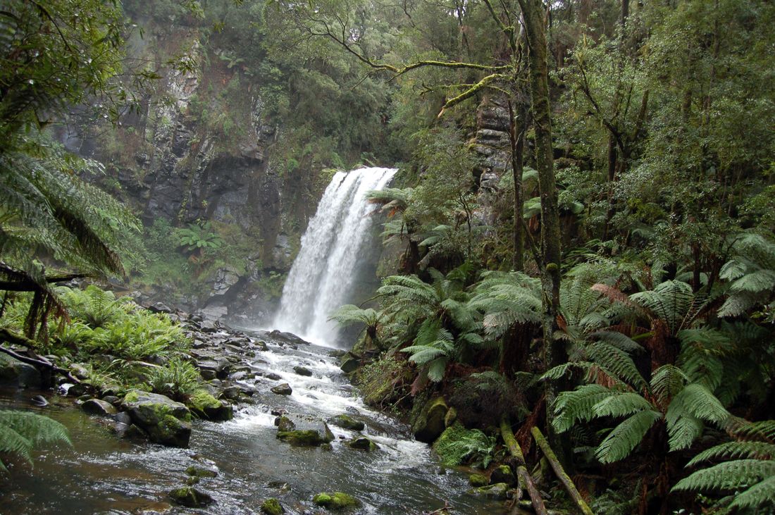
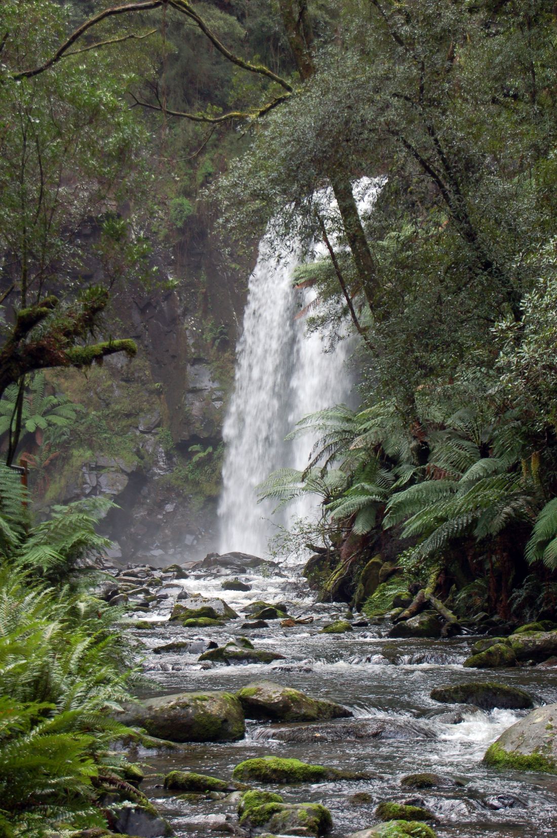
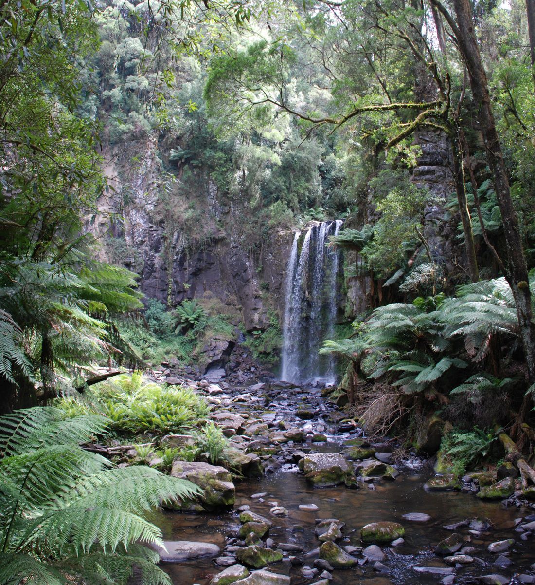
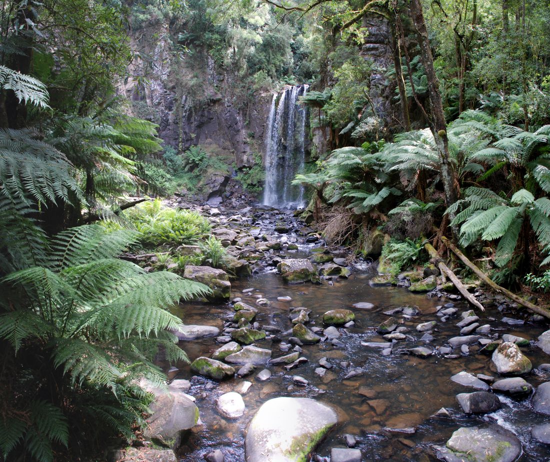
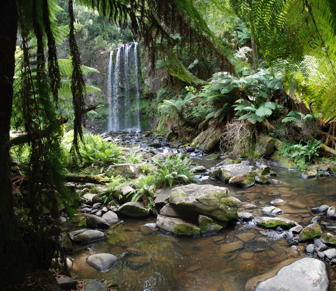
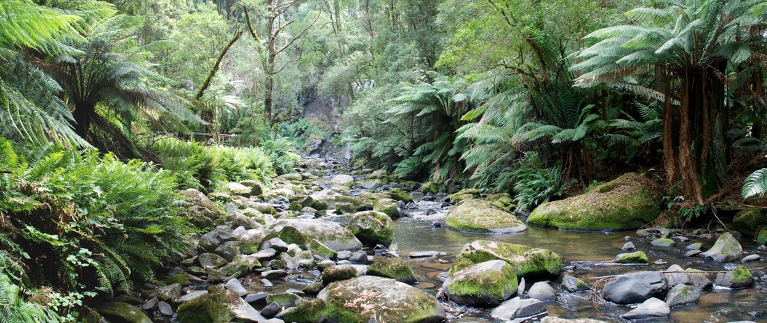
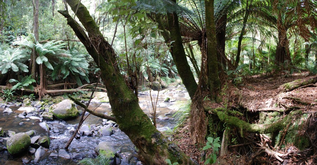
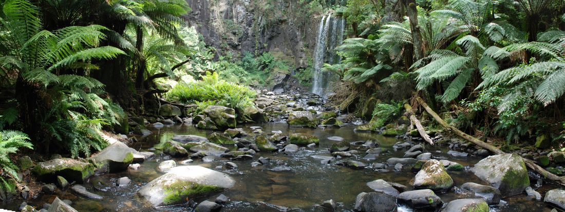
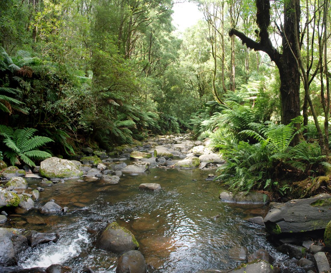
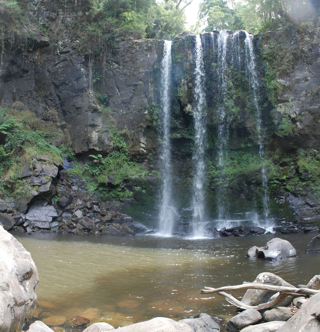
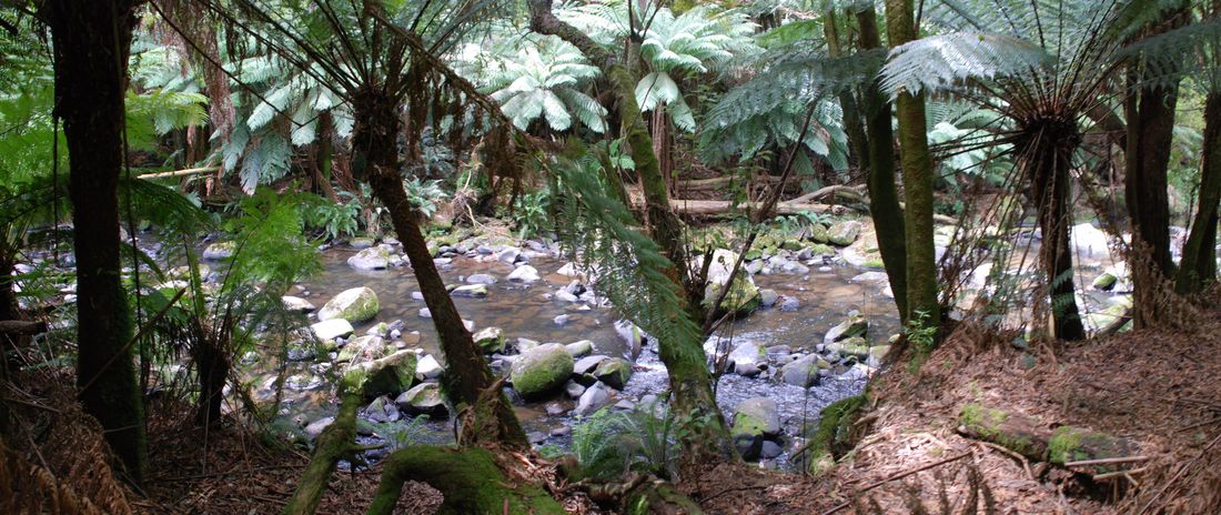
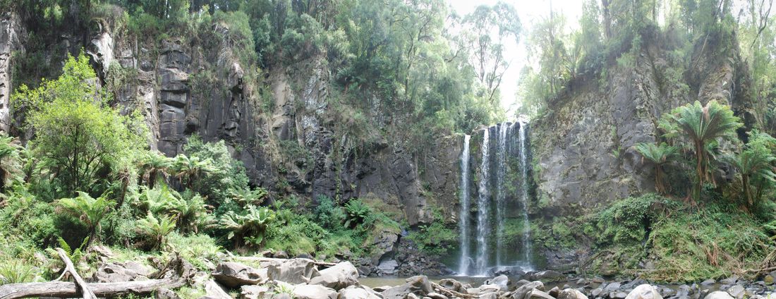
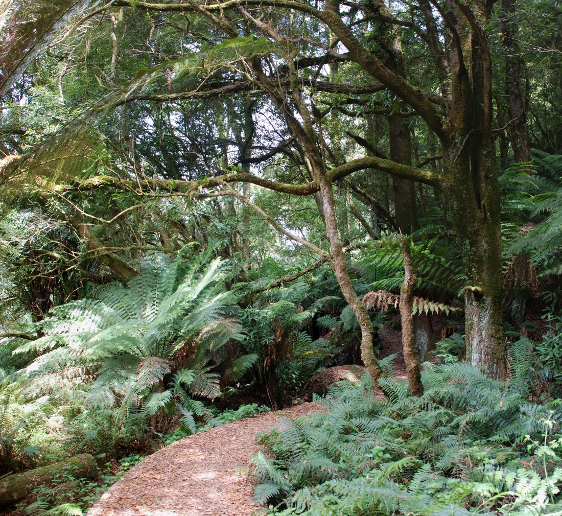
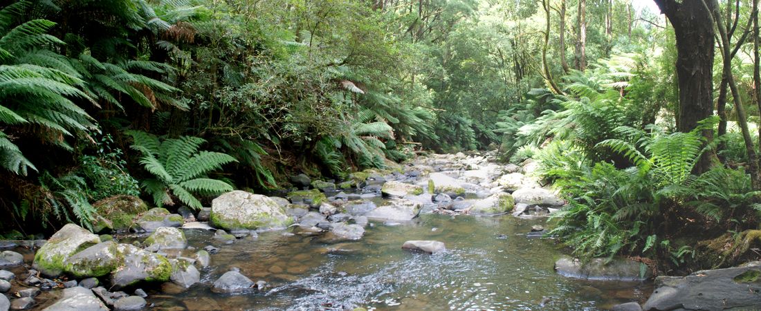
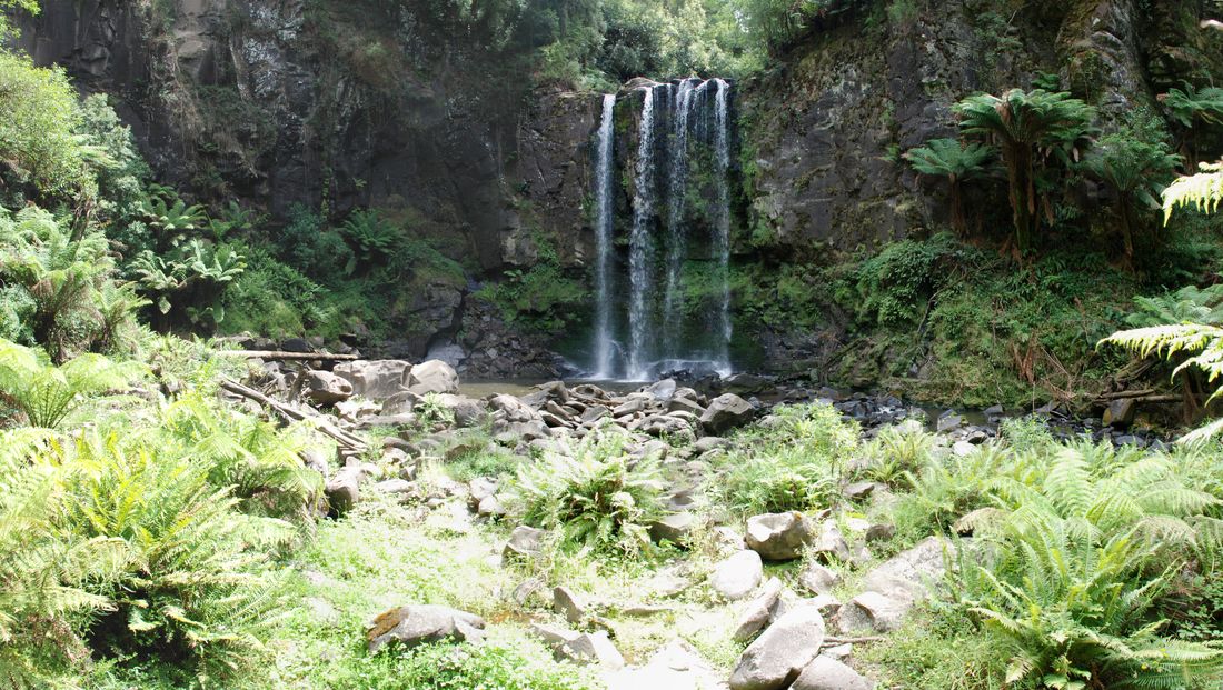
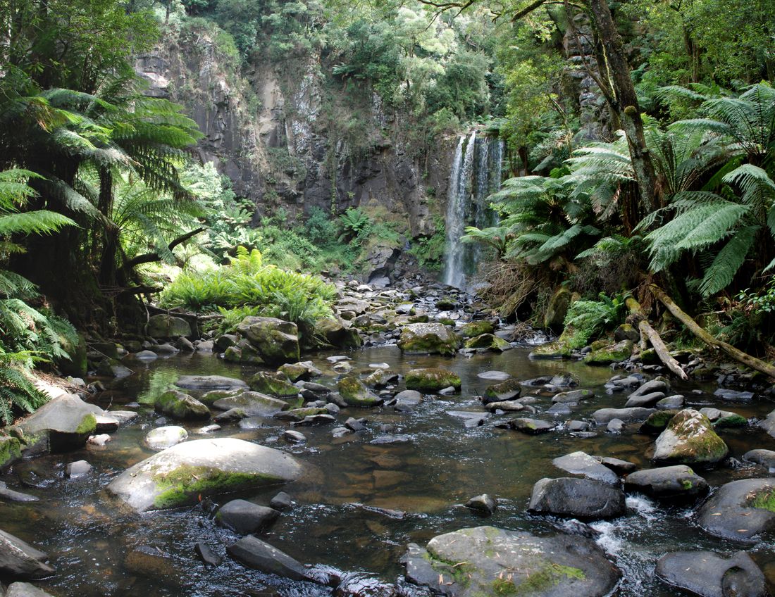
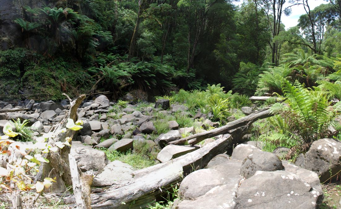
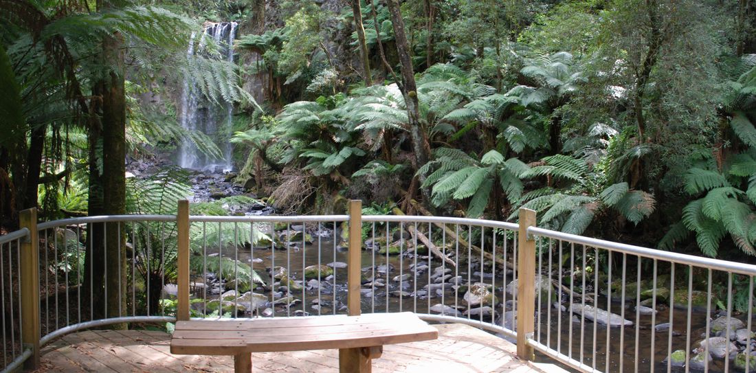
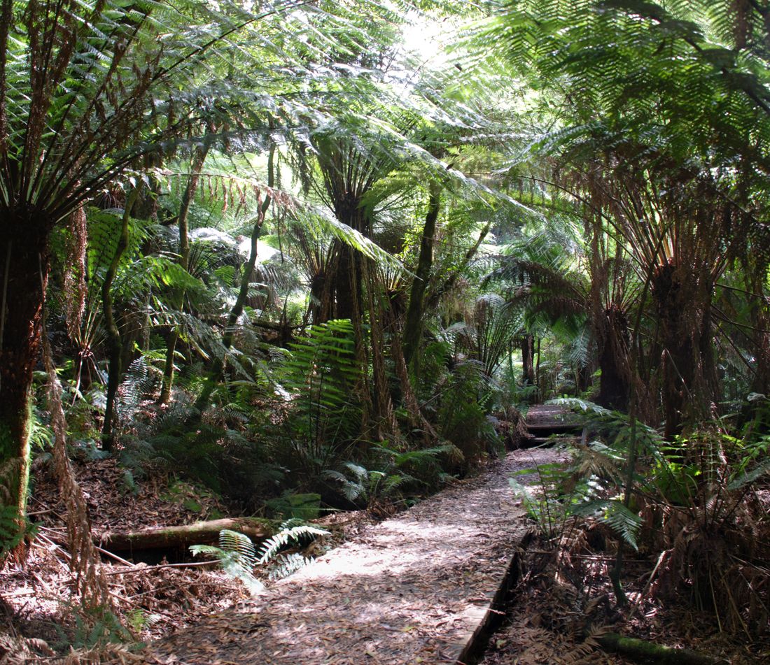
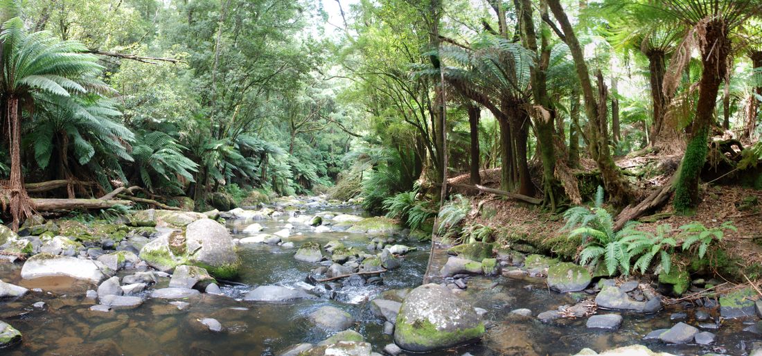
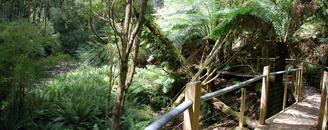
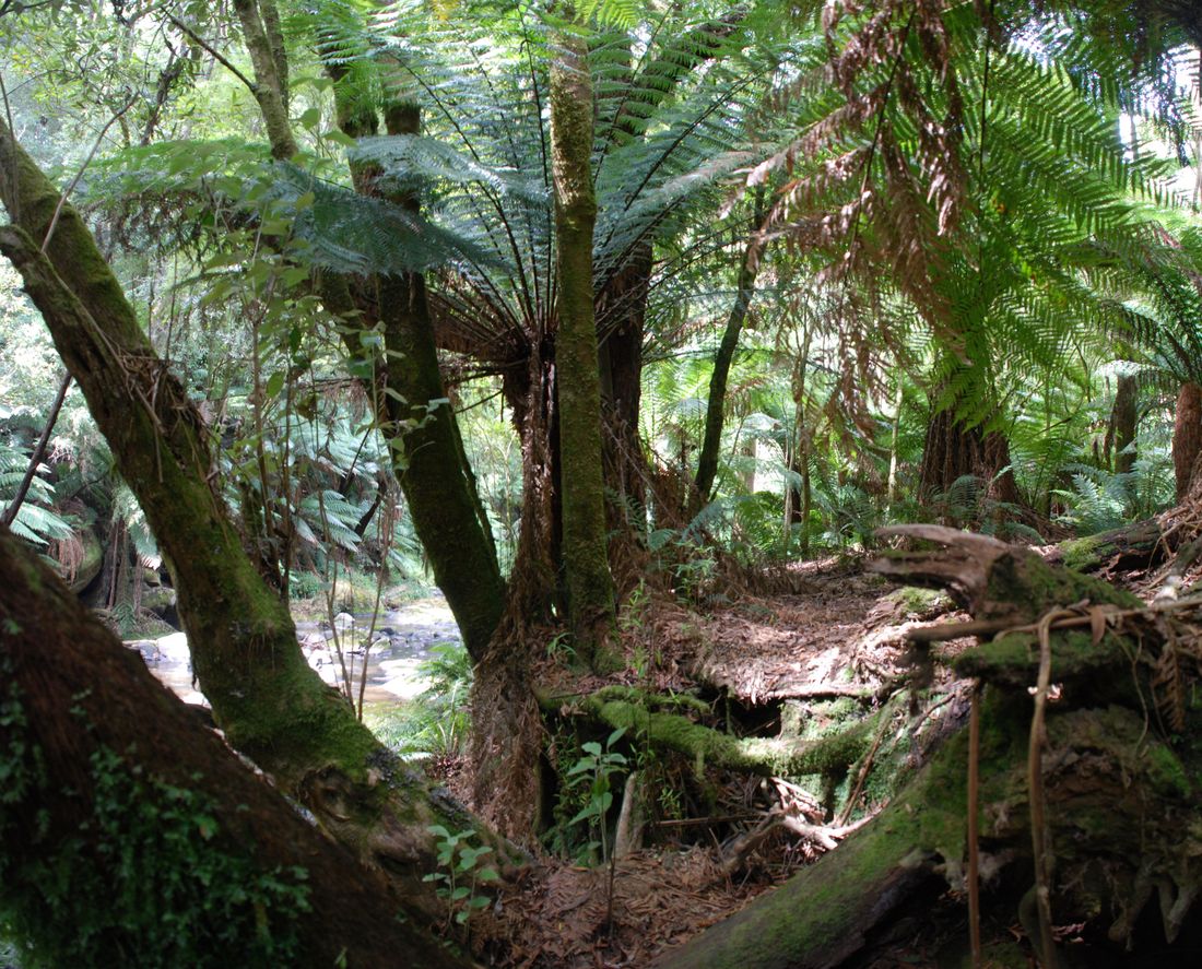
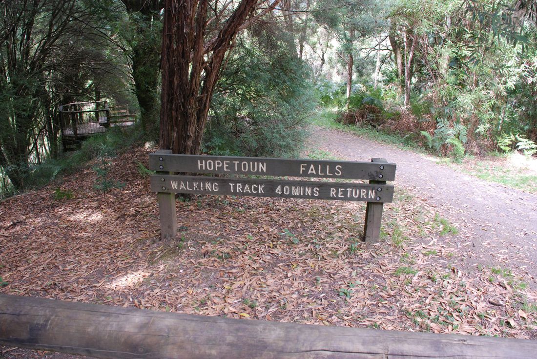
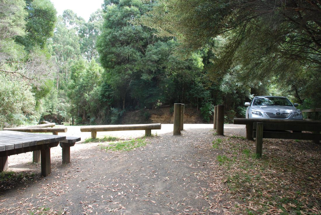
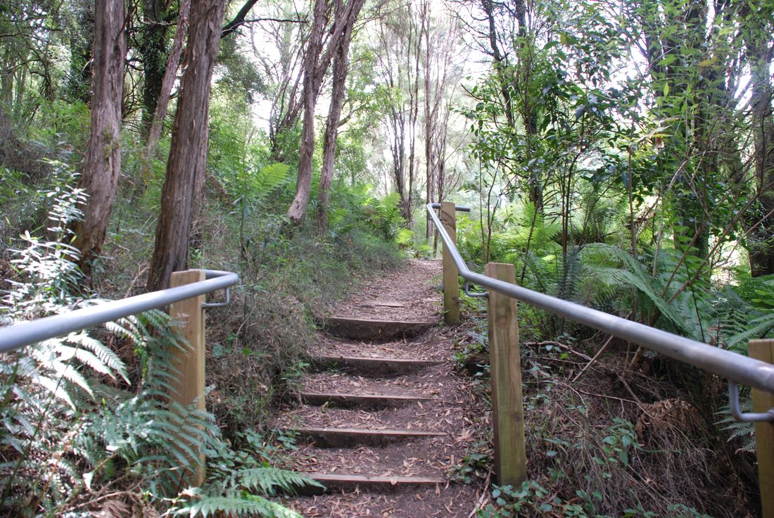
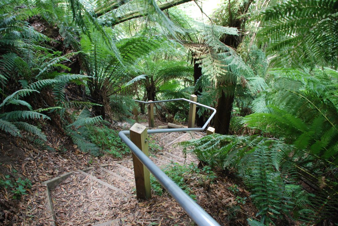
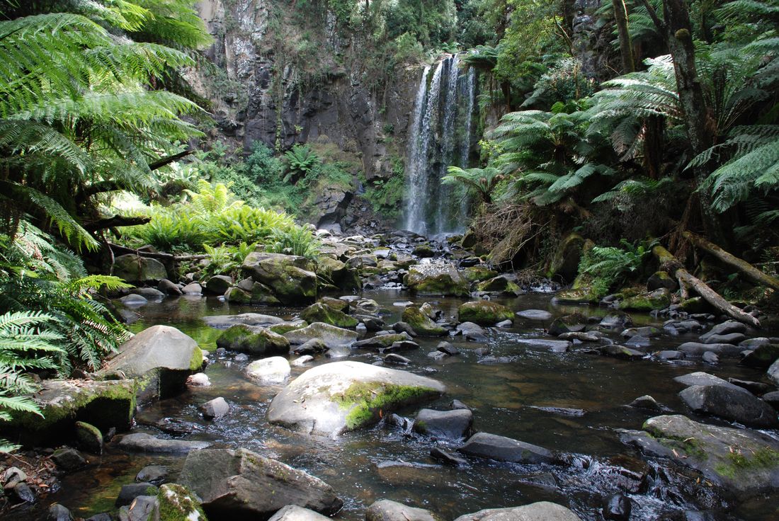
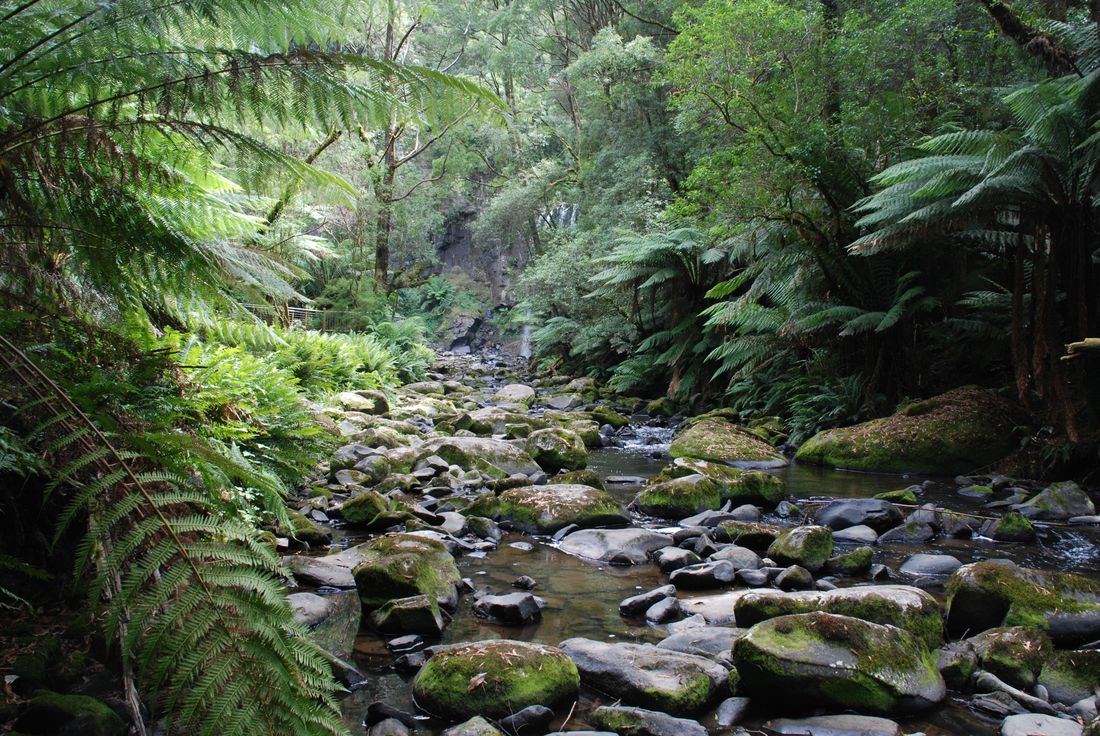
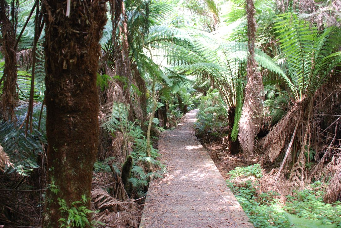
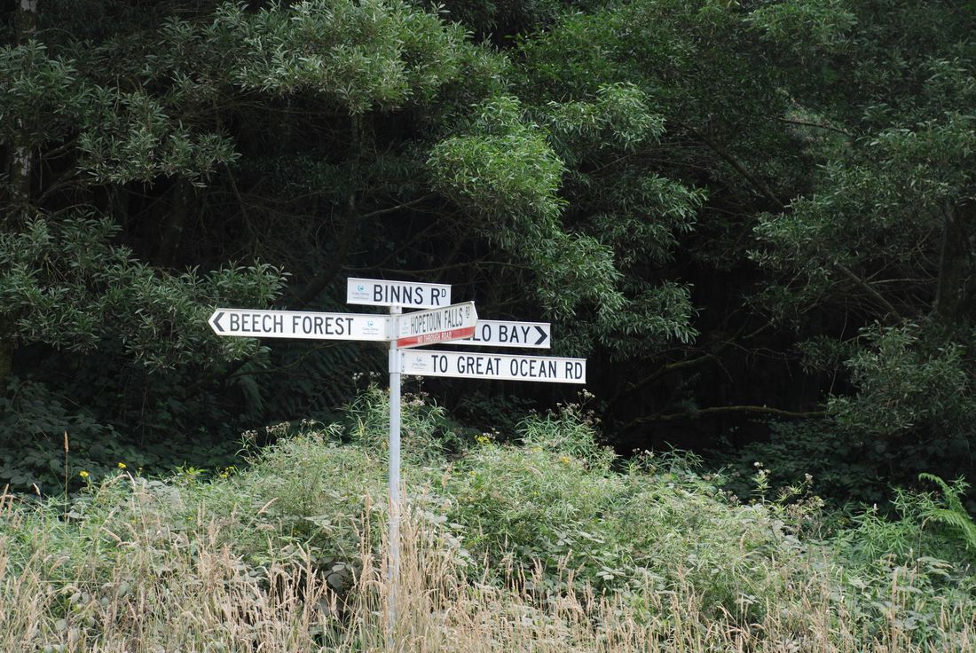
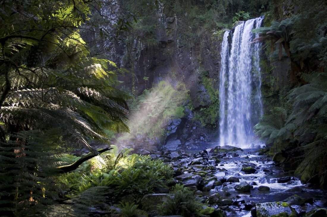
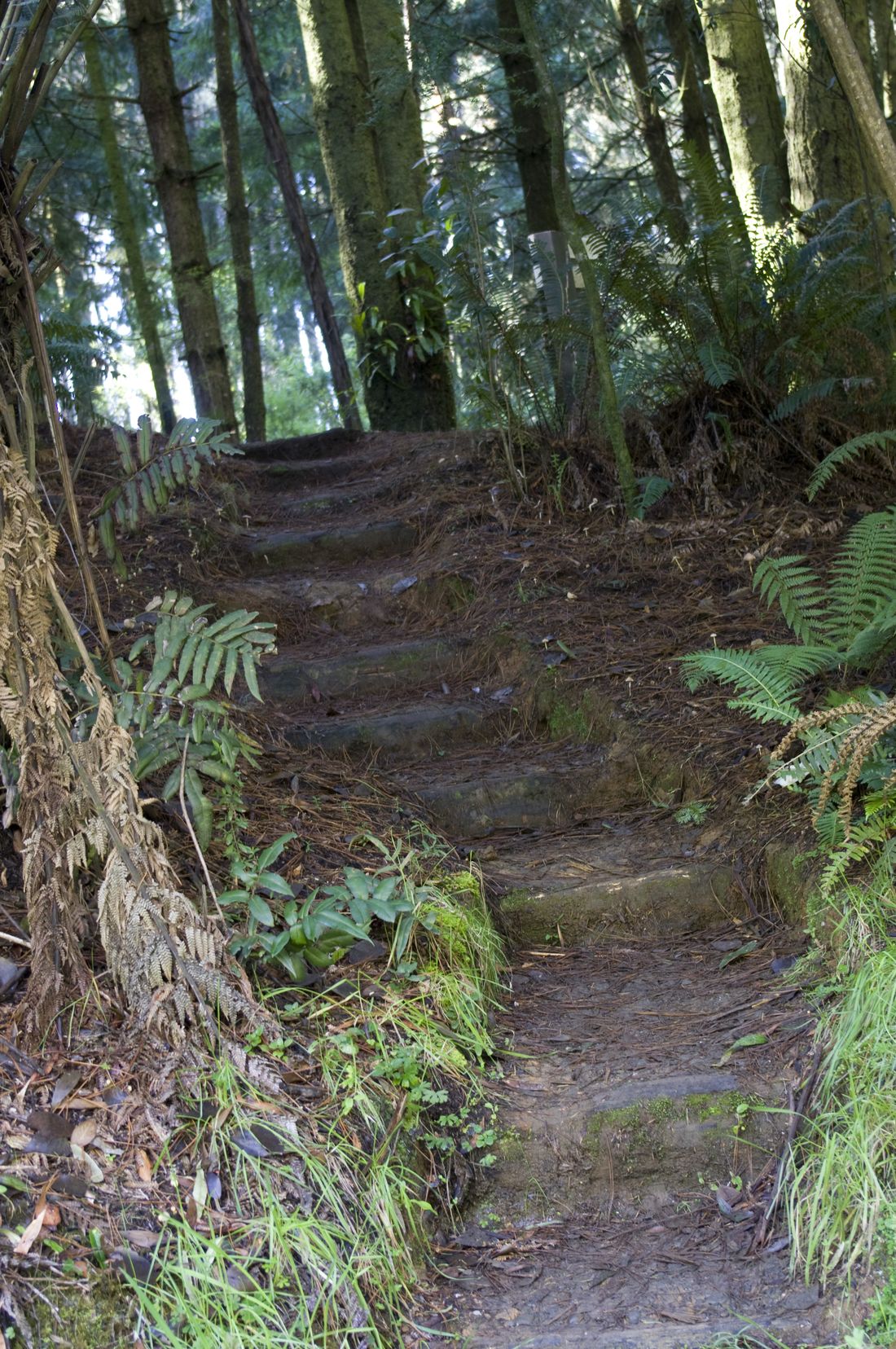
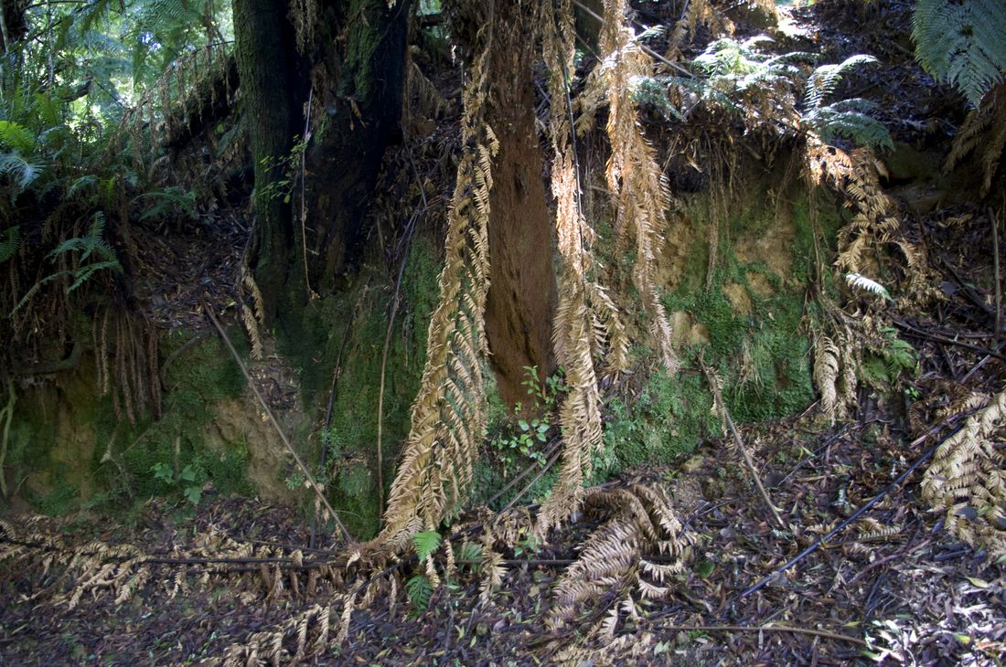
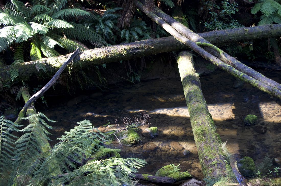
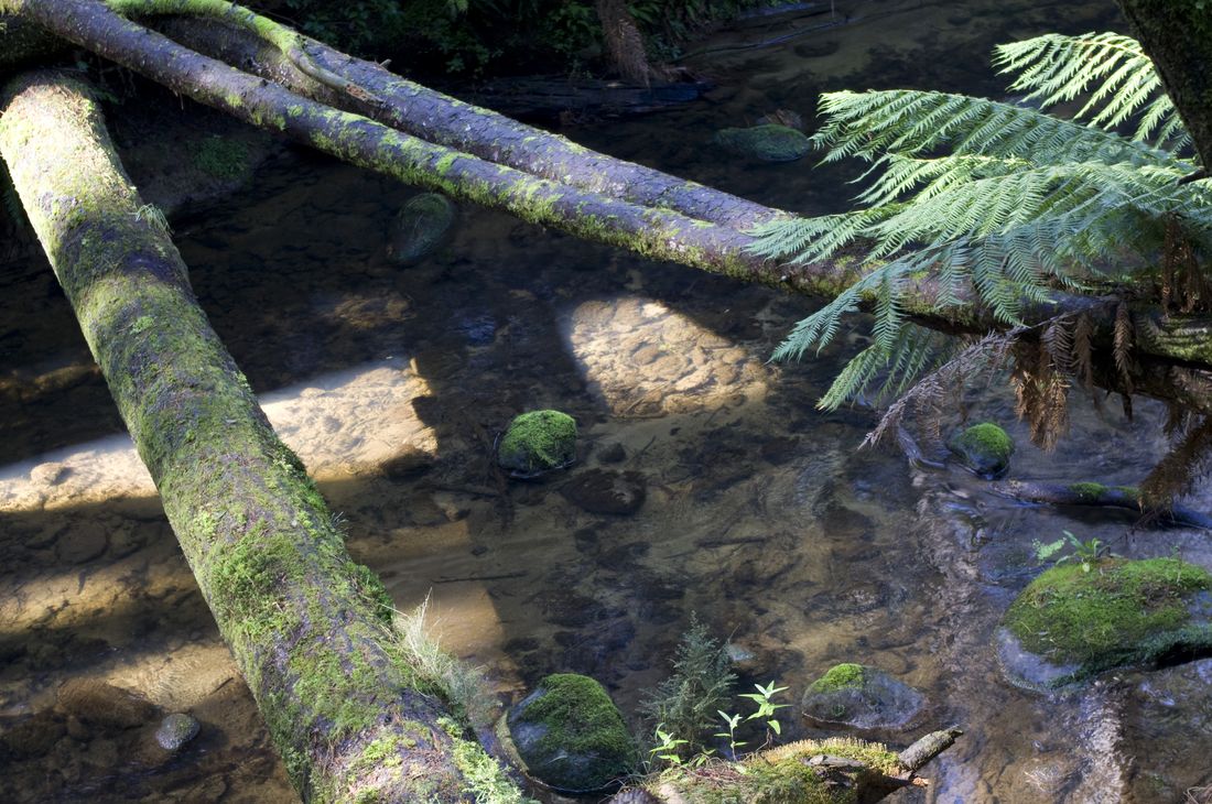
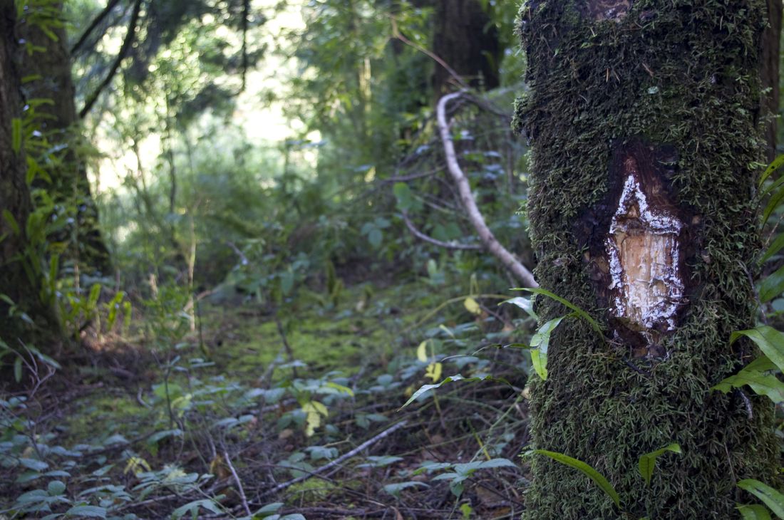
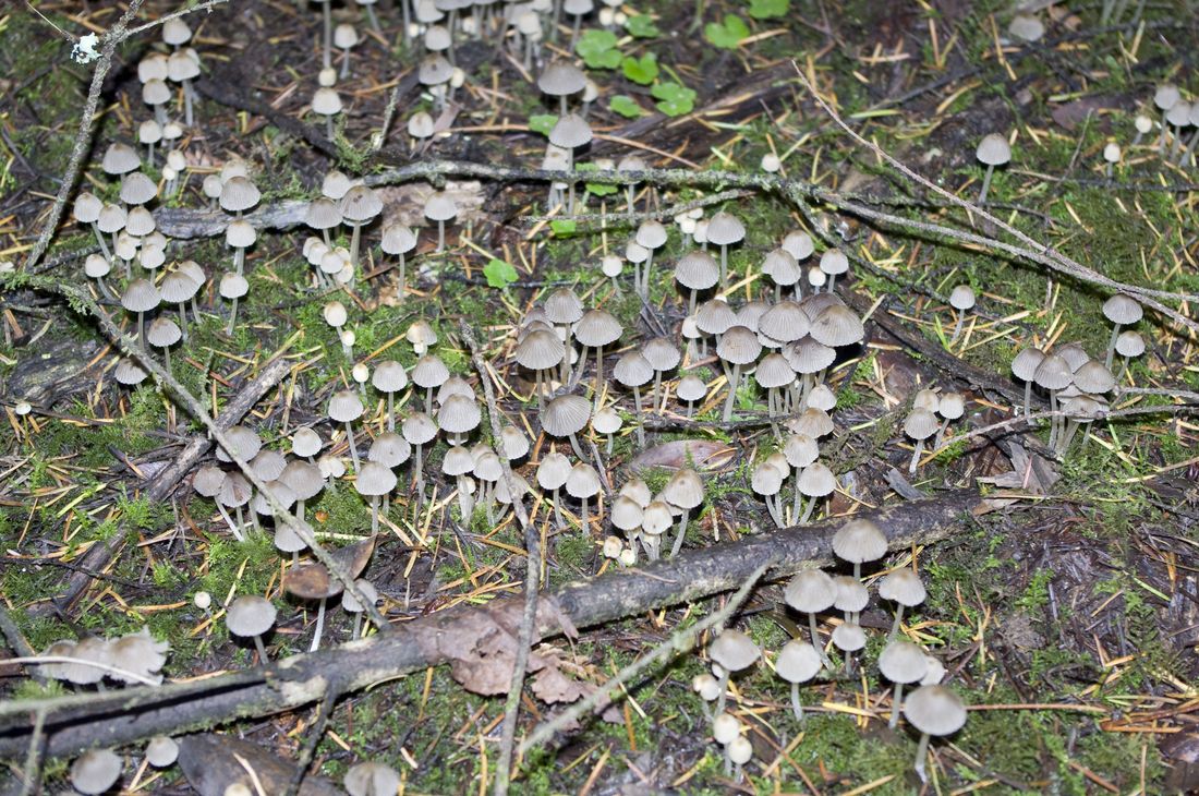
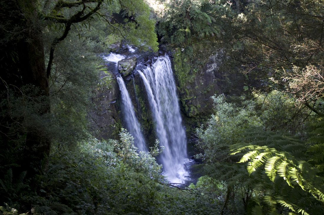
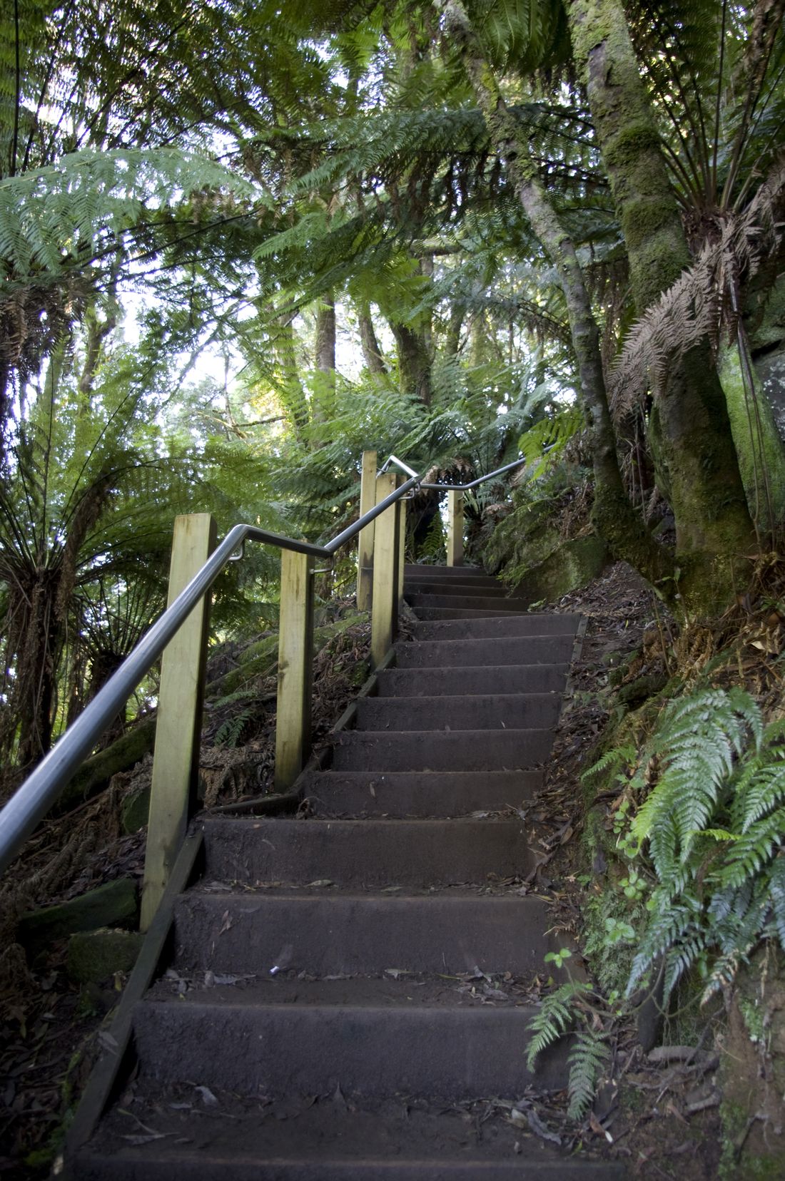
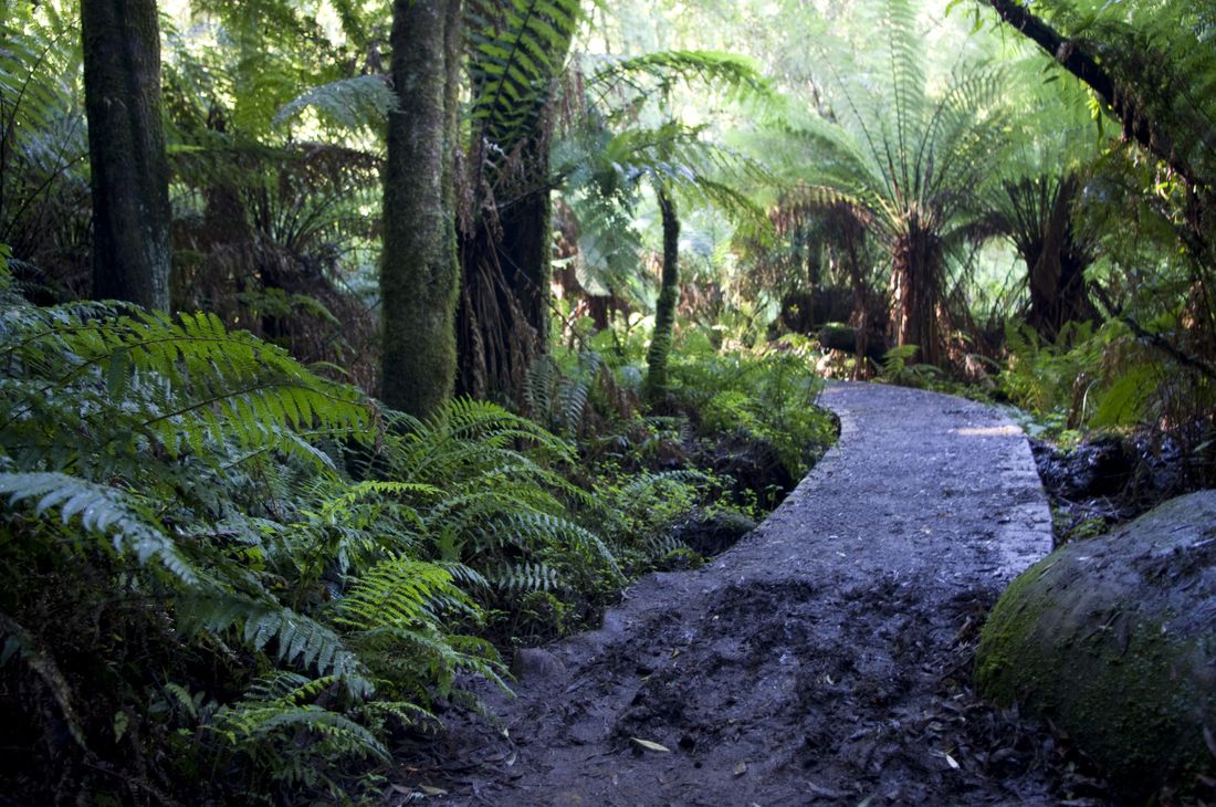
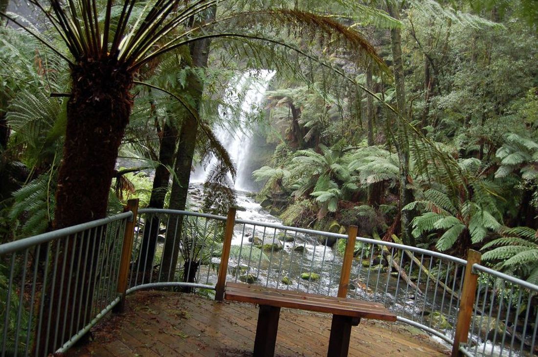
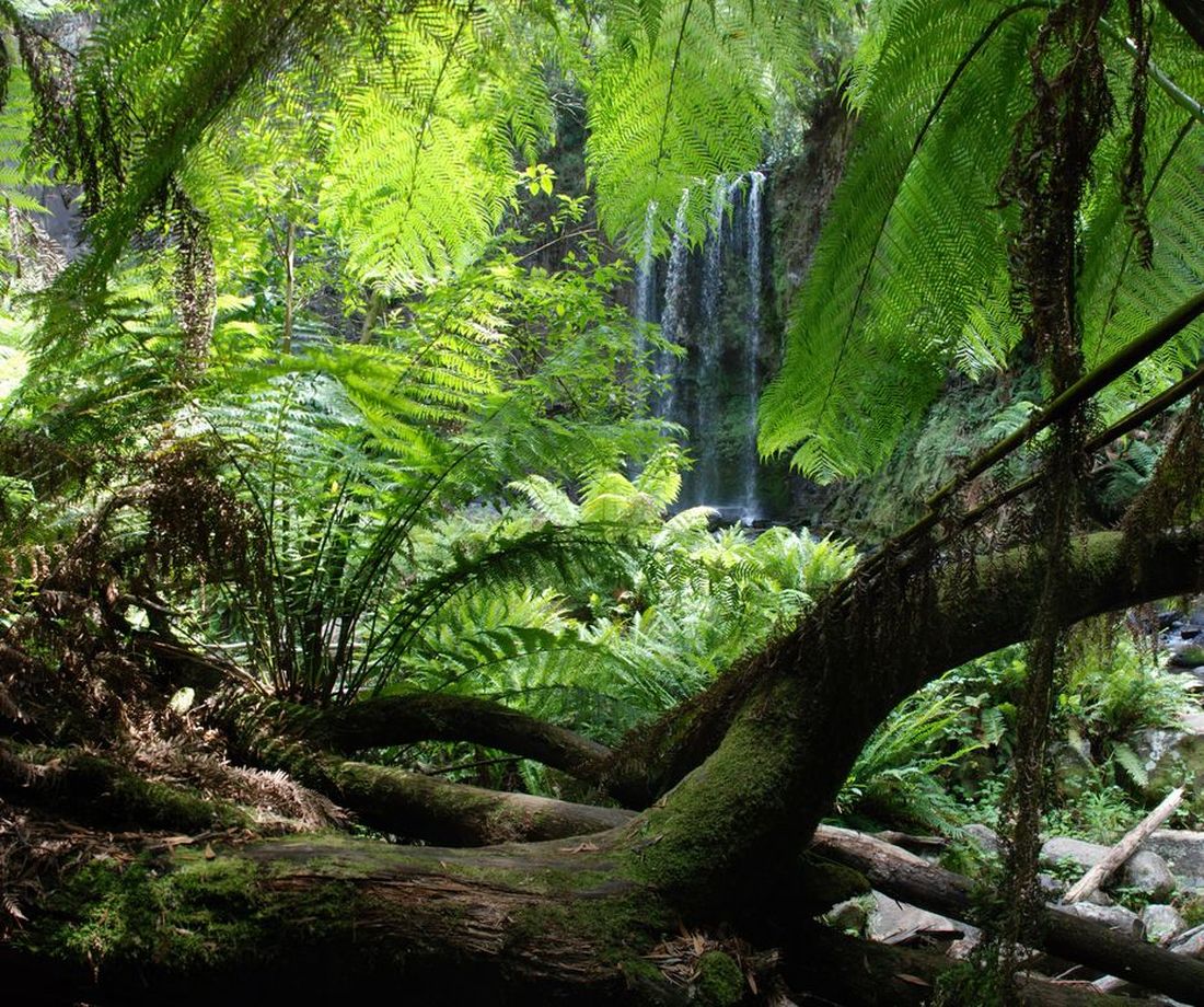
Aire Valley Road, Beech Forest , Victoria 3237
Please note: You may need to apply to multiple location authorities.
Council: Colac Otway Shire
Region: Great Ocean Road
Victoria has a strong and proud Aboriginal history stretching back many thousands of years.
The Aboriginal Heritage Act 2006 requires all Victorians to protect and conserve Aboriginal cultural heritage, and recognises Registered Aboriginal Parties (RAP) as the primary guardians, keepers and knowledge holders of Aboriginal Cultural Heritage.
The Indigenous Map shows the various RAPs in Victoria. You can find out about the cultural significance of a proposed filming location by contacting the relevant RAP directly.
Advice can also be sought from the Victorian Aboriginal Heritage Council or relevant permitting authority, such as local government and Parks Victoria.